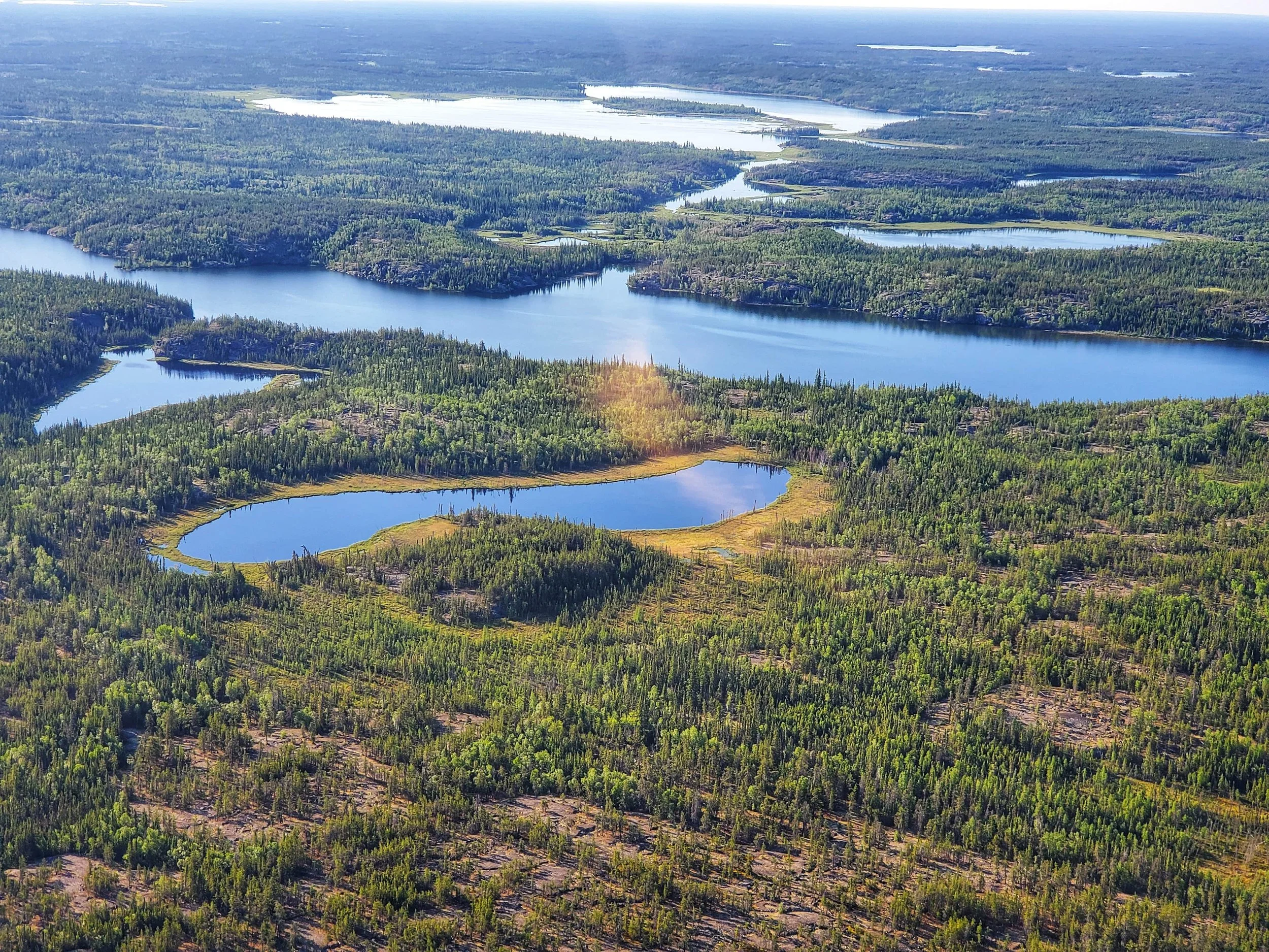
Environmental Aerial Survey
Drone technology has revolutionized environmental consulting, offering high-resolution visuals and data that traditional fieldwork methods cannot match. At Eland Environmental Consulting Corp., we leverage drone technology to provide accurate, efficient, and cost-effective imagery and mapping services for your environmental projects, particularly in remote or hard-to-access locations.
Our environmental aerial survey services include:
Environmental Monitoring with Drone Technology
Our drones capture real-time visuals to track site conditions, vegetation health, soil erosion, or watercourse impacts. This allows for efficient, ongoing monitoring without disrupting sensitive areas.
Progress Documentation
This involves documenting the progress of remediation, construction, or reclamation projects through consistent aerial imagery. We provide regular drone footage to visually track project milestones, ensuring that stakeholders have a clear understanding of the site’s development over time.

